Category Archives: Hiking Fellowship

A Wintry Hike at Donald County Park

submitted by Roberta Sladky; photos by Jason Beren & Jeff Tews

IMG_5589

Fifteen Rotarians and guests plus two canines (James and Park) hiked Donald Park, a Dane County Park located in the Driftless Area of southwest Dane County. Two inches of snow fell overnight — enough to create a lovely wintry scene but not enough to require snowshoes. The group met at the Pop’s Knoll entrance near Mt Vernon and hiked south and east on the Woodland Trail, Prairie Edge Trail and Springs Trail. The Mt Vernon Overlook Trail was practically a rock climb – all enjoyed the vista and made it down without incident. Records show that the group hiked 4.1 miles and went up and down 25 floors in elevation!

IMG_20181117_101321  IMG_5588  IMG_20181117_105257

Donald Park is testament to the philanthropy of Dane County. Two women, Delma Donald Woodburn and Pat Hitchcock, became neighbors and then partners in providing the land and vision that formed Donald County Park. It’s impossible to describe the history of this 800 acre piece of land in this ‘brief write-up’, except to say that there is evidence that ice age PaleoIndians once hunted this land and many more residents and visitors since have enjoyed the terrain with its rocky outcrops. Most of the group enjoyed lunch and conversation following at Verona’s Boulder Brew Pub. A great start to the weekend!

Our thanks to Rotarian Andrea Kaminski for organizing this hike for the group.

Sauk Prairie State Rec Area–A Wisconsin Treasure!

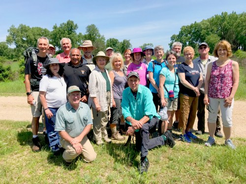
submitted by Andrea Kaminski; photos by Karl Gutknecht, Norm Lenburg & Danika Riehemann

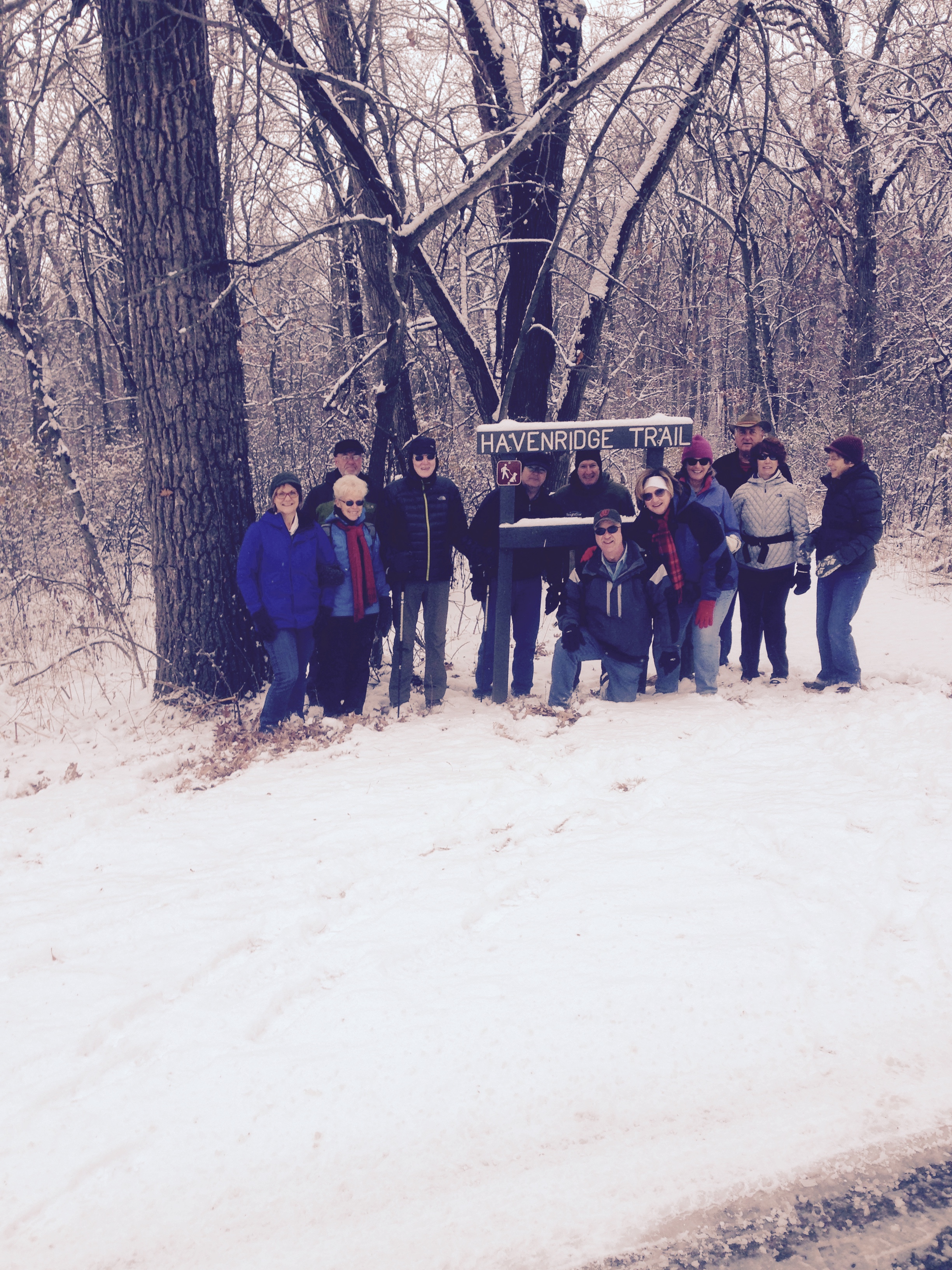
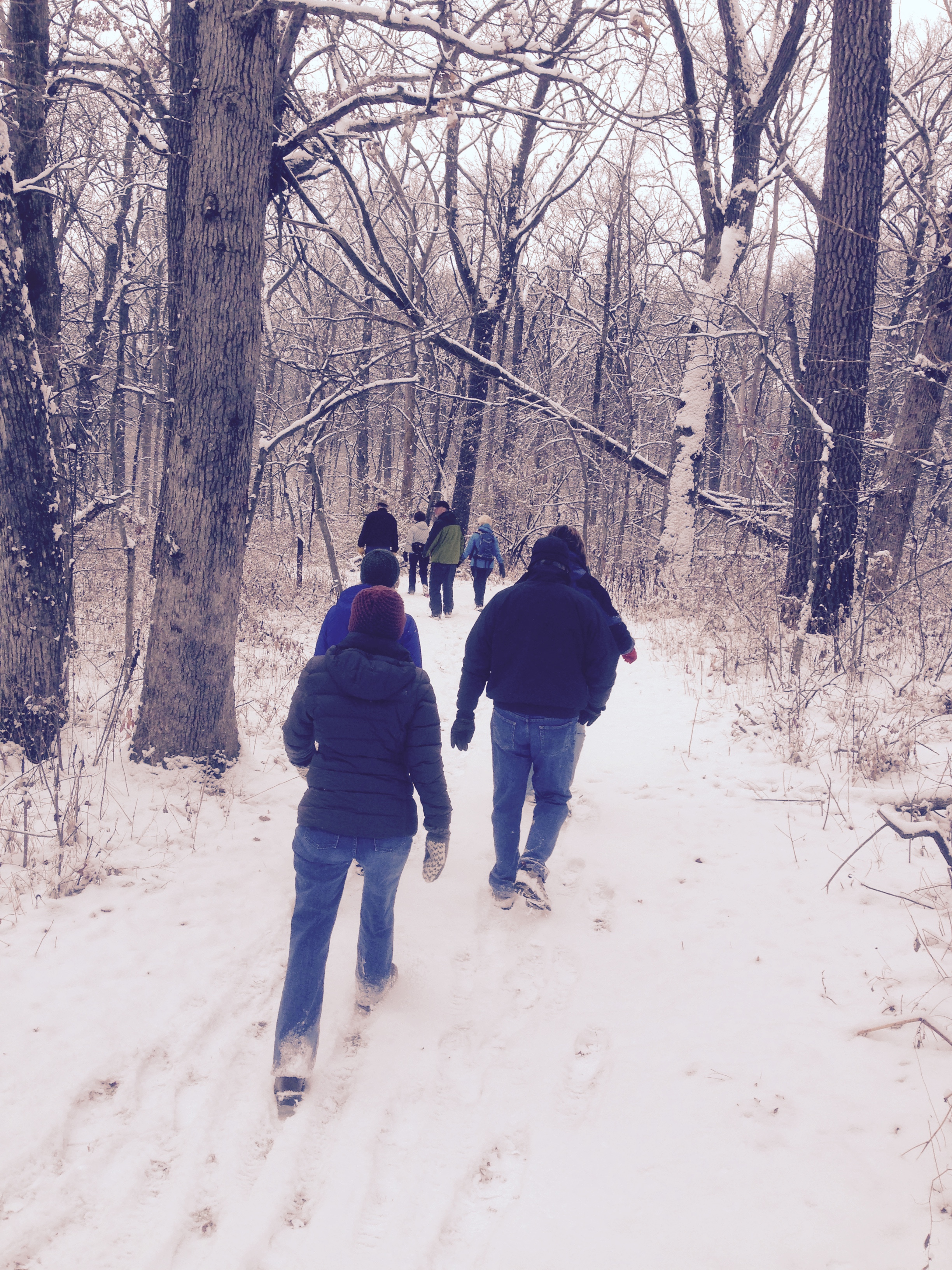
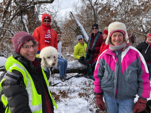
A group of 20 Rotarians and guests spent a balmy Saturday morning learning about a true victory for our Wisconsin environment. We visited the Sauk Prairie State Recreation Area, which was created through the commitment of local residents, state and federal governments and the Ho Chunk Nation.

Rotary Sauk Prairie-2947  Rotary Sauk Prairie-2965  Rotary Sauk Prairie-2959

We gathered at the Museum of Badger Army Ammunition, off US Hwy 12 between Sauk City & Baraboo.  Verlyn Mueller, museum curator and archivist, told us about the history of the Badger Ammunition Plant based on his considerable research and more than 20 years as an employee. Over a period of several months in 1941, 74 local families were forced to move off their farmsteads to make way for the plant, which remained active through the Vietnam War. The plant was built on land the U.S. government had acquired through the 1837 treaty with the Ho Chunk Nation.

In 1997 the Army announced that the 7,354-acre plant would be decommissioned, and the future of the land was uncertain. Our second tour guide, Curt Meine from the Sauk Prairie Conservation Alliance, noted that the land could have been converted to anything, for example a factory or a race track. Instead, it was converted to the conservations area divided among several landowners.

In 2014 a portion of the Badger Lands were returned to the Ho Chunk Nation, which has already begun to convert much of the parcel to native prairie. That is no small feat. There were 1,400 buildings across the Badger Lands that needed to be removed. Most had lead paint and asbestos siding, requiring special handling and safe disposal.

Sauk Prairie Hike 6 23 2018 DOther parts of the property belong to the Wisconsin Department of Natural Resources and the USDA Dairy Forage Research Center. Meine took us to sites on the DNR land, where there is public access. Volunteers have put in trails, and they are working on prairie restoration. One section is a beautiful hillside of lightly forested grassland. Meine said it took 15-20 volunteers, mostly working with hand tools, about three hours to beat back the thicket of invasive shrubs to expose this native Wisconsin oak savanna.

Sauk Prairie Hike 6 23 2018 A

The transformation of the Badger Lands from a decommissioned ammunition plant to a state recreation area that will be restored to native flora and fauna was not a simple task. It involved community action by disparate groups who came to consensus on certain shared goals and values. Tammy Baldwin, first as a U.S. House Representative and then as a U.S. Senator, supported the project by connecting the group with federal grants. The project required years of negotiation and compromise, not to mention untold hours of volunteer planning and labor. The nonprofit Sauk Prairie Conservation Alliance continues to raise funds to carry the work forward.

Sauk Prairie Hike 6 23 2018 B

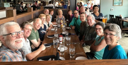
Following the tour, Meine joined us for a delicious lunch at Vintage Brewing Company in Sauk City. We are grateful to Rotarian Karl Gutknecht for arranging this educational and enjoyable outing.

For more photos, visit our club’s Facebook page.

A Gem of a Hike: Table Bluff on Ice Age Trail July 15

–submitted by Leigh Richardson; photos by Jeff Tews

IMG_2524
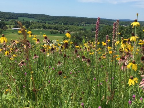
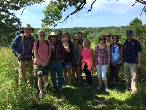
“Embarking on the back road journey 2 miles north of Cross Plains, members of the Rotary Hiking Fellowship had no idea this pristine gem awaited. Towering forests, chin-high rainbows of prairie flowers, and the grand finale– a shelter perched overlooking the driftless region. A view to rival Blue Mounds State Park.

At the bi-section of the Table Bluff Segment of the Ice Age Trail lies the 460-acre “Swamplovers Nature Preserve.”  Even our seasoned hikers were unaware of its existence.

IMG_2525

When rounding a wooded curve, we even encountered an alligator in a bikini!  It elicited frightened gasps until we realized it was merely a lawn statue planted trailside by the lighthearted Swamplovers’ group.

IMG_2527

Thank you, hike coordinator, Andrea Kaminski, for sharing this lovely find!”

Winter Hike Near Lake Wingra

–submitted by Andrea Kaminski; photo by Herman Baumann

winter-hike-2-11-17

From left: Ted Waldbillig, Mike Crane, Cindy Waldbillig, Leslie Overton, Katie Ryan & Andrea Kaminski

It was 37 degrees when we got to Wingra Park Saturday morning. The ice conditions looked poor, yet people were fishing on the lake. Then again, people who fish through the ice are a particularly intrepid lot, and they are not burdened by the pesky survival instincts that keep the rest of us on terra firma or even indoors in the winter. The surface ice had thawed and refrozen a couple of times, leaving a slippery surface and there were large patches that were covered by water. Although some members of our group were willing to try it, we decided instead to hike a wooded trail that leads from Wingra Park to the duck pond at the northern tip of the Nakoma golf course. This led us over an open, spring-fed stream with a crop of fresh, green watercress. The spring rises from a rock outcrop called Council Ring, which was designed in the early 20th century by landscape architect Jens Jensen. We all managed to stay upright, thanks to cleats on our boots, walking sticks from a store or the forest floor, or a combination of skill and luck. Then six of us piled around a table for four at Colectivo for coffee and treats.


First Hike of the 2015 Season – Aldo Leopold Nature Center in Black Earth

–submitted by Dawn Crim; photography by Karl Gutknecht

1 ALeopold_Hike

On Saturday the Hiking Fellowship Group enjoyed its first hike of the season organized by Rotarian Karl Gutknecht with Bob Miller,  President and Executive director of the Aldo Leopold Nature Center, and board member and Rotarian Deb Gilpin on hand at the Black Earth location. What a wonderful way for over 25 Rotarians and friends and two dogs to welcome spring! Bob provided background on the 38 acre site in front of the Leopold Lodge that can be rented for camping trips, meetings,etc. An excellent location for our group photo too.

Aldo Leopold 5

The site has wonderful hiking trails. We hiked the first loop, about 1.5 miles consisting of mature woods, and rocky outcroppings. This path had somewhat steep terrain that took us high in the treetops before winding down into the valley. Once at the bottom, Bob shared stories of several scouting troops who rent out the site to test for hiking badges and other camping adventures.  We embarked on the second loop which was about 1 mile. This path was not as steep as the first and had a fire pit and council ring at the top.

Aldo Leopold 6  Aldo Leopold 7  Aldo Leopold 3

Our hike concluded with a picnic lunch on the wooded deck of the Alexander Studio. The studio has high cathedral ceilings, a center stage and originally served as a rebirthing center in the early 1970’s.

It was a beautiful day and great location to kick off the hiking season. Bob invited us all to visit the Monona Aldo Leopold Nature Center later this summer.

Aldo Leopold 1


Hiking the Snowy Trails at New Glarus State Park

–submitted by Andrea Kaminski; photos by Herman Baumann

Photo1

The Rotary Hiking Fellowship enjoyed the snow at New Glarus Woods State Park on Sunday, November 16. We met near the picnic shelter, where a friendly park ranger made sure we all had daily or annual state park passes on our cars. He was very proud of his park, and he stopped to take a photo of the group before we headed off on the Havenridge Trail.

Photo4  Photo3

Equipped with printed park maps and multiple GPS devices, the consensus of the team was to simply follow the loop. According to Jeff Tews’ Fitbit, we hiked 4.3 miles and climbed the equivalent of 50 flights of stairs. After the trek, six of us went into New Glarus for a warm and tasty lunch at Kristi’s Bistro Cafe.